
A long roof or a hard-to-reach elevation can make it difficult to see how one condition relates to the next. Drone imaging gives a facility director a wide view of roof areas, perimeter transitions, and rooftop equipment without walking every portion first. It is useful when a Clarksville property has multiple roof sections, restricted access, or an operating schedule that limits time on the surface. A long-path tornado crossed the area in December 2023; that weather history is a reason to record visible roof conditions carefully, not evidence that a particular building has storm damage. We plan the flight around the site, capture useful views, and pair imagery with a hands-on review when the roof detail or material condition needs closer inspection.
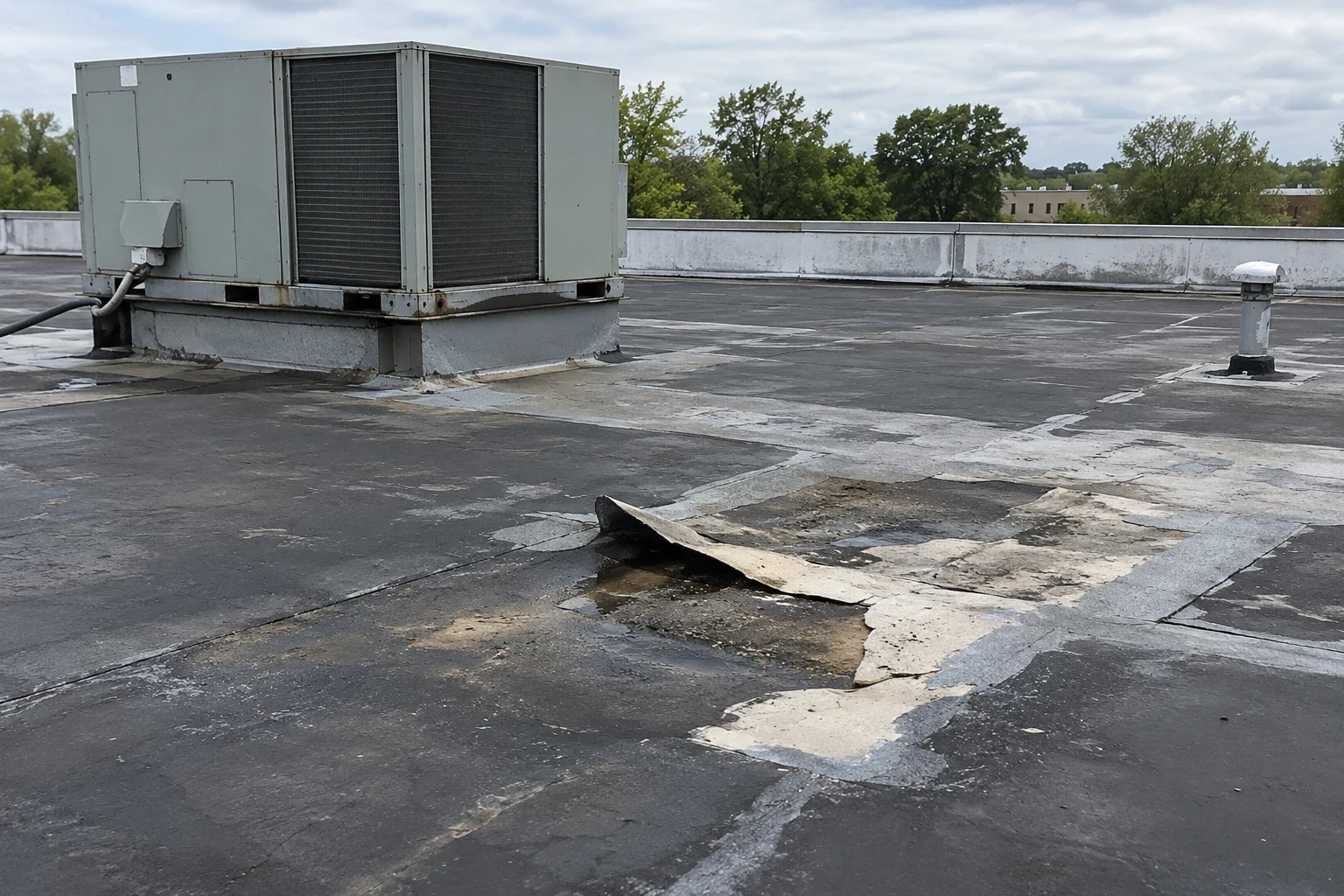
Before flight, we confirm property contacts, site rules, safe launch and landing locations, roof access limits, nearby operations, and any restriction that could affect the work. The shot plan follows the roof layout: broad overhead images to establish sections, then closer views of edges, drains, curbs, penetrations, and areas named by facilities staff. We avoid flying over active work or occupied gathering areas when a safer route is available. The image set should help locate a condition later, so each view is tied to a building area and a visible landmark on the roof.
North, East, and South Park give a drone survey team district-level orientation across Clarksville's industrial properties; each flight plan still needs site-specific airspace, access, and rooftop-control review. That broad layout can help orient a multi-building portfolio, but it does not reveal a roof's material or condition. A flight over an operating site still follows the property's access and safety rules. The facility contact identifies restricted zones and the time window that avoids critical deliveries or outdoor work. Where direct access is allowed, we can coordinate the image set with a hands-on roof inspection so the crew can verify details that are too small or visually ambiguous from above.
Images can show displaced metal, debris, open-looking seams, ponding, damaged surfacing, or a change around a curb. They cannot always show whether a membrane is bonded, whether insulation is wet, or whether a dark area is a defect. Shadows, roof texture, standing water, and camera angle can make similar conditions appear different. We label what is visible and identify where a ladder inspection, probe, test cut, or other review is needed before recommending work.
An EF3 tornado crossed Clarksville in December 2023, and hail was reported locally in May 2024. Those dates help the owner organize a timely roof review, while the image record remains specific to what the flight actually captured. We do not infer impact damage from a storm report alone. If a drone frame shows a possible opening near an edge, the next step is to inspect the attachment and flashing on site. If it shows a suspicious moisture pattern, an infrared and core-cut moisture survey may help determine whether concealed wet material is present. Each tool answers a different question. We label image confidence plainly: a roof corner hidden by equipment is not a clear view, and a surface mark without a visible opening remains a question for close inspection. The facility can then decide which areas need a roof walk first.
For a broad warehouse or multiple buildings, a stitched overview can make roof sections easier to locate. We use repeatable labels for building and zone, then connect each close view to its place on the overall layout. That lets a facilities lead assign a follow-up without describing a roof feature by memory. If the same area is photographed again during a later inspection, the team can compare the visible condition and see whether debris, water, or an exposed detail changed.
Clarksville corridors such as Interstate 24 and Rossview Road serve different parts of the market, but neither route name predicts the roof geometry or access available at a property. We confirm the site boundary and the building list with the owner. For a multi-property owner, imagery can be organized alongside roof asset records and a multi-site roof program, provided the underlying reports keep each building and inspection date distinct. A camera overview is useful only when the facility can connect it to a decision, an inspection, or a repair. We can pair the image index with a roof condition report and note which finding needs a commercial roof repair, another angle, or a hands-on check. That prevents the image file from becoming a collection of unlabeled views. Each follow-up can point to a building, roof zone, and date, helping the next facility contact find the observation without relying on a broad description.
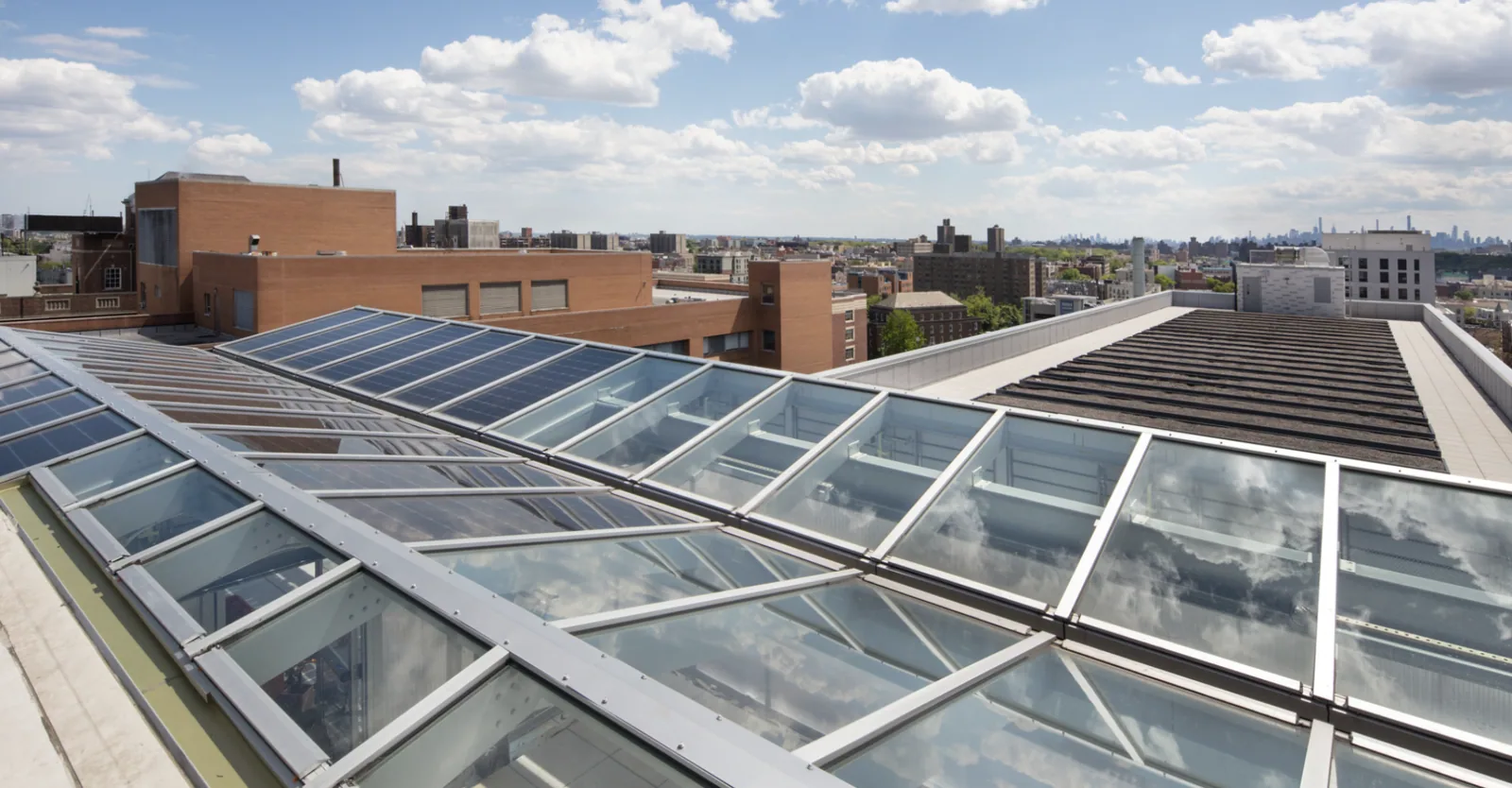
Not every roof can be captured from one angle. Parapets, canopies, rooftop equipment, trees, security restrictions, weather, and airspace rules may limit what the camera can see. A flight plan can be changed or stopped when conditions do not support safe operation. We explain any blind area and arrange a different access method if that detail matters to the decision. Drone imaging complements the inspection process; it does not replace safe, authorized roof access or a close review of a suspected failure.
After capture, we deliver labeled images with notes on views that need confirmation. A facility director can use them to plan a roof walk, schedule a repair, or organize a broader condition review. We connect the next action to the image location so the same roof area can be found from a hatch or ladder route. Arrange a Clarksville flight near North Park or along Rossview Road by identifying the operating contact, access window, and roof sections to document. We will prepare an image set that gives the inspection team a clear starting point.
No, an ordinary visual image shows the roof surface and visible details, not concealed insulation moisture. We can use an image to locate an area for closer review, then use a hands-on inspection or suitable survey with confirmatory openings where needed. The report separates a visible pattern from a confirmed condition below the membrane.
A broad view can help locate roof sections, drains, rooftop equipment, debris, ponding, and visible changes at edges or penetrations. Close views may help direct an inspection. We label the building and roof zone, and note when an angle or obstruction prevents a clear view.
It can document multiple roofs when the property authorizes access and the flight conditions allow each building to be captured. We confirm a building list and label the image set by site and roof area. Separate labels matter because one image or condition must not be mistaken for another building's record.
A storm record provides weather context, while the roof inspection documents observed conditions at the property. We use imagery to locate visible changes and arrange close review of suspected openings or displaced details. The report does not assign a cause unless the roof evidence supports that conclusion.
Weather, visibility, safe launch space, property rules, nearby operations, overhead obstructions, or flight restrictions can limit a planned view. We identify the gap and coordinate another method if it affects the repair or maintenance decision. The facility contact receives the views captured and the areas that still need inspection.
Arrange drone roof imaging in Clarksville. We will coordinate site rules and operating hours, label each roof section, and identify where a closer hands-on review is needed.